 A
A
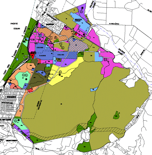
directory of maps for the Reuse Plan and EIR can be accessed by clicking on the Maps and Figures navigation menus to the right.
Specific data for each parcel can be found here: http://fortordcleanup.com/parcel-search-tool
2018 Volume I and II Category I Figure Corrections
On March 9, 2018, the Board accepted a staff report on Category I BRP text and figure corrections. Category I originated in the 2012 Reassessment Report and was reviewed by the Post-Reassessment Advisory Committee (PRAC). Staff presented PRAC’s Category I review to the FORA Board May 10, 2013. The corrections are all errata, such as typographic errors or missing legend icons. These include corrections to figures in both BRP Volumes I and II.
On the right are the grouped Figures of Volume I and II. Where there is a Category I corrected version, it is shown as the first title. All others remain as republished in 2001. No figures in the EIR were corrected.
NOTE: All maps in this application are for illustrative purposes only and are not considered official for the determination of boundaries, rights-of-way, deeds, easements etc., which must be confirmed by the respective jurisdiction and the County of Monterey.
